Looking for the best hot springs near Las Vegas? Check out our guide to the Arizona Hot Springs hike.
Arizona Hot Springs, aka Ringbolt Hot Springs, is one of our favorite hikes in the Las Vegas area. It’s only 30 minutes away in Lake Mead National Recreation Area and gives you a nice change of scenery along with a relaxing soak. Overall, the hike can feel boring since you hike through a ton of gravel, but the natural hot springs, slot canyons, and river views make it worthwhile.
This post may contain affiliate links, where we receive a small commission on sales of the products that are linked at no additional cost to you. All opinions are always our own. Read our full disclosure for more info. Thank you for supporting the brands that make Local Adventurer possible.
Last Updated: January 12, 2026
Your Complete Guide to the Arizona Hot Springs Hike
About Arizona Hot Springs
5.8-mile loop, moderate, over 1200 feet elevation change
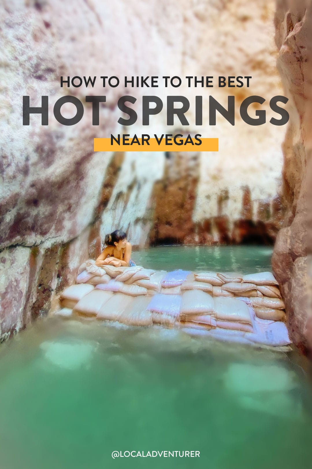
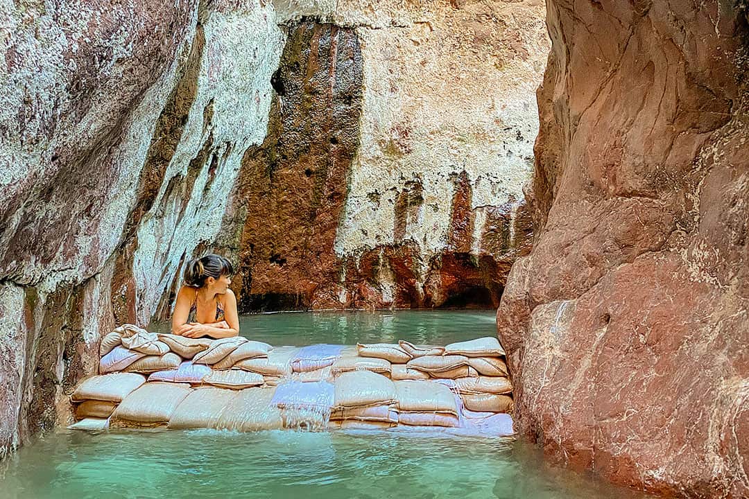
Arizona Hot Springs is a beautiful natural hot spring located near Lake Mohave along the Colorado River. You hike to a colorful and narrow slot canyon and will find three main soaking pools of varying temperatures dammed by sandbags.
Find the official trail map here. You can also use the Alltrails map and if you have Alltrails+, you can download it have access to it offline.
How Hot are the Arizona Hot Springs?
The warmest pool is roughly 110°F. After the three main pools, the smaller pools in the area don’t have much warmth.
It is an extremely popular hike, so expect to see some crowds if you’re hiking on a nice day. You can avoid them by going early and hiking in before sunrise. Or wait for a quieter window in between groups.
How much time does it take to hike to Arizona Hot Springs?
Most online reports and everyone we talked to told us the hike takes 6-7 hours (not including time to soak), making me nervous that we’d be hiking back in the dark. We were prepared for a challenging and long hike but managed to do the loop in 4 hours, walking at a steady pace with a few breaks along the way. Although you shouldn’t underestimate the hike, if you’re confident in navigating a trail and can keep a decent pace, it should only take 3-4 hours.
Is the Arizona Hot Spring Trail Open?
Due to the danger of extreme heat, the trail is closed from May 15 to September 30.
See Related: The Best Things to Do at Lake Mead National Park
What You Need to Know Before You Go
- Beware of brain-eating amoeba (Naegleria Fowleri), a risk in thermal pools. For that reason, I wouldn’t put my head in the water. They can travel up your nasal passage and cause fatal infections.
- Flash floods happen here, so do not attempt the hike if there is rain or thunderstorms nearby.
- You may see rattlesnakes along the trail, especially in warmer weather.
- Pack enough water and wear sunscreen. Sunstroke and dehydration are serious concerns, especially with little to no shade along the hike.
- You hike through A LOT of gravel. It can feel brutal and slow you down. Mentally, it’s hard to push through the boring and long gravel sections.
- Since you will be near the Nevada-Arizona border, the time zone may change back and forth depending on the time of year. Arizona does not observe daylight savings. In the summer, the time is the same, but there is an hour difference in the winter.
Where is Arizona Hot Springs
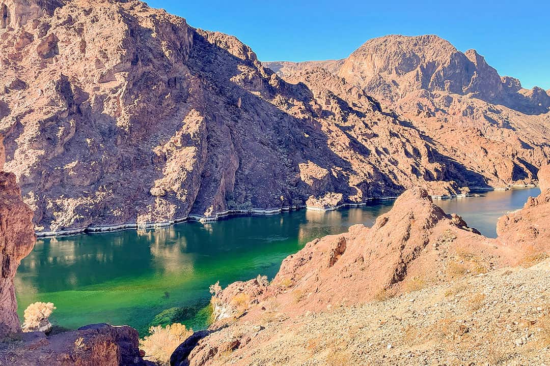
Arizona Hot Springs is located on the Colorado River just south of the Hoover Dam, near river mile 59.75. With its location near the water, you can access the springs from the river (kayaking/floating then a short hike) or by hiking 3.1 miles (5.8 miles for the entire loop). The hot springs are inside a narrow slot canyon where someone created multiple pools using sandbags.
How to Get to Arizona Hot Springs
There are three main ways to get to Arizona Hot Springs.
The 5.8-mile loop hike is the first and most common way to get to the hot springs. It allows you to explore canyons, soak in the hot springs, and take a cold dip in the river before heading back. We ended up hiking the loop clockwise. Some of our friends like the hike counterclockwise, so you hit the river first and go from the coolest to hottest pools.
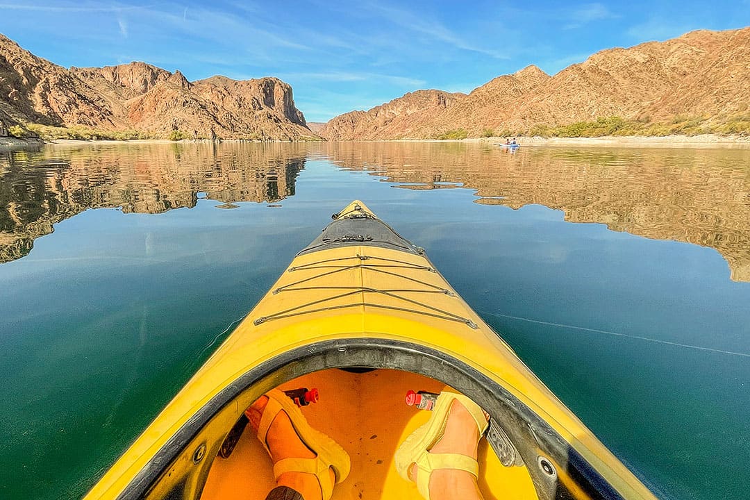
You can also kayak or float down 4 miles from the Hoover Dam, which requires a special permit and fee. You can only get this by booking a guided trip or a service to drop you off.
The third option is to paddle 8 miles upriver from Willow Beach. There is no launch permit fee here. Boat and kayak rentals are available at Willow Beach, but be sure to make reservations during holidays and weekends.
Fees at Arizona Hot Springs
Arizona Hot Springs is located within Lake Mead National Park, which means that the entry fees apply. You do not pass through any pay gates to arrive at the parking lot, but they can check the lot for permits.
Entrance Fees in the park are $25 per vehicle for seven consecutive days, or you can get an Annual National Park Pass for $80 (we highly recommend it if you love the outdoors and national parks).
See Related: 7 Stunning National Parks near Las Vegas
Where is the Trailhead
The trailhead is easy to find. It’s on the north side of State Route 93. If you’re coming from the Lake Mead Visitor Center, follow US Hwy 93 easy 8.4 miles (or 4.2 miles past Hoover Dam). From Kingman, AZ, the trailhead is 0.2 miles before mile marker 4.
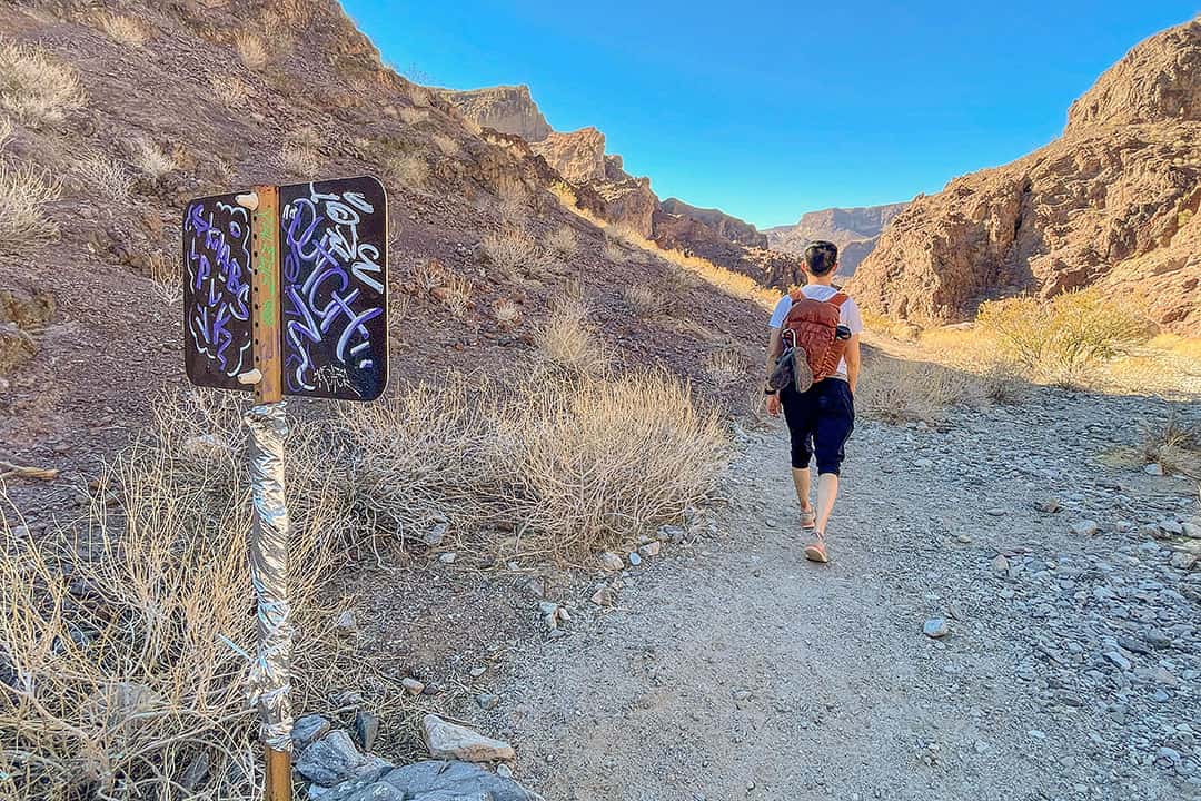
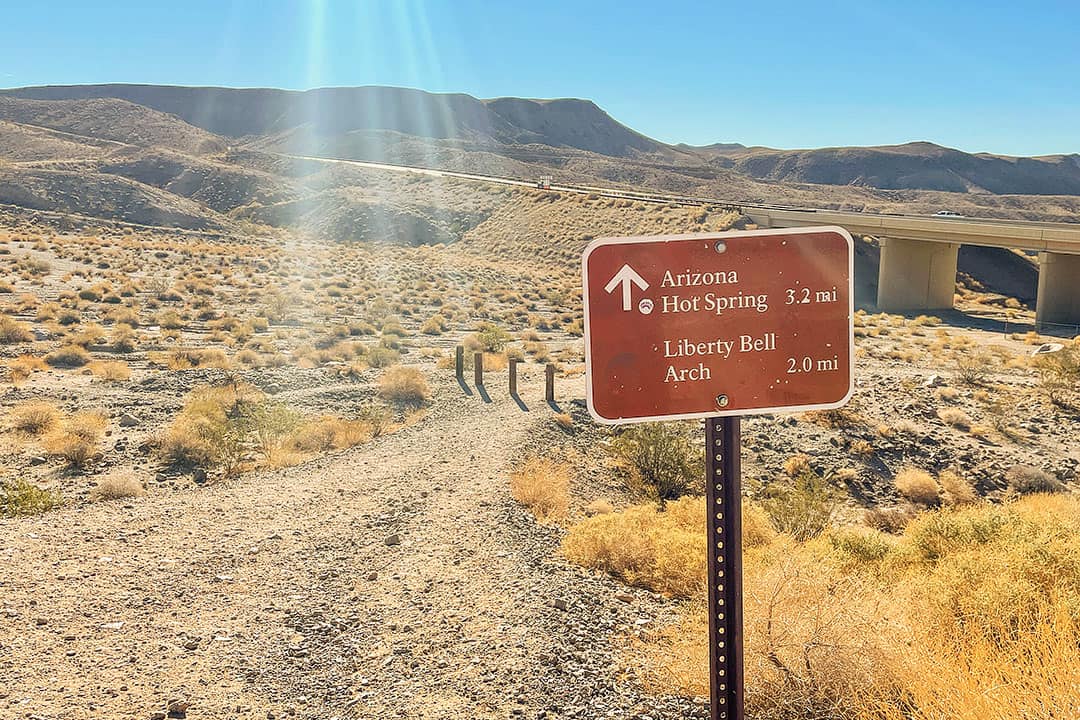
When you pull into the parking lot, the trailhead is on the far end of the lot. There is an information sign as well as trail markers. When starting the trail, you will walk under the bridge / US Hwy 93.
Arizona Hot Springs Trailhead Coordinates: 35.9801752,-114.6984124 (map)
The Trail + Loop
You can hike to Arizona Hot Springs multiple ways. The main lollipop loop encompasses the White Rock Canyon Trail and the Hot Spring Canyon Trail, which both start from the same parking lot. After 0.4 miles, you will come to a split with a sign pointing to Hot Spring Canyon on the left and White Rock Canyon on the right.
See More: 15 Fun Outdoor Activities in Las Vegas
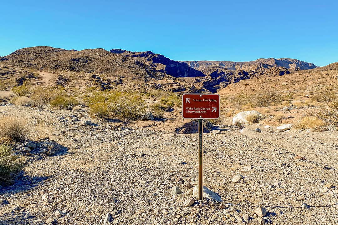
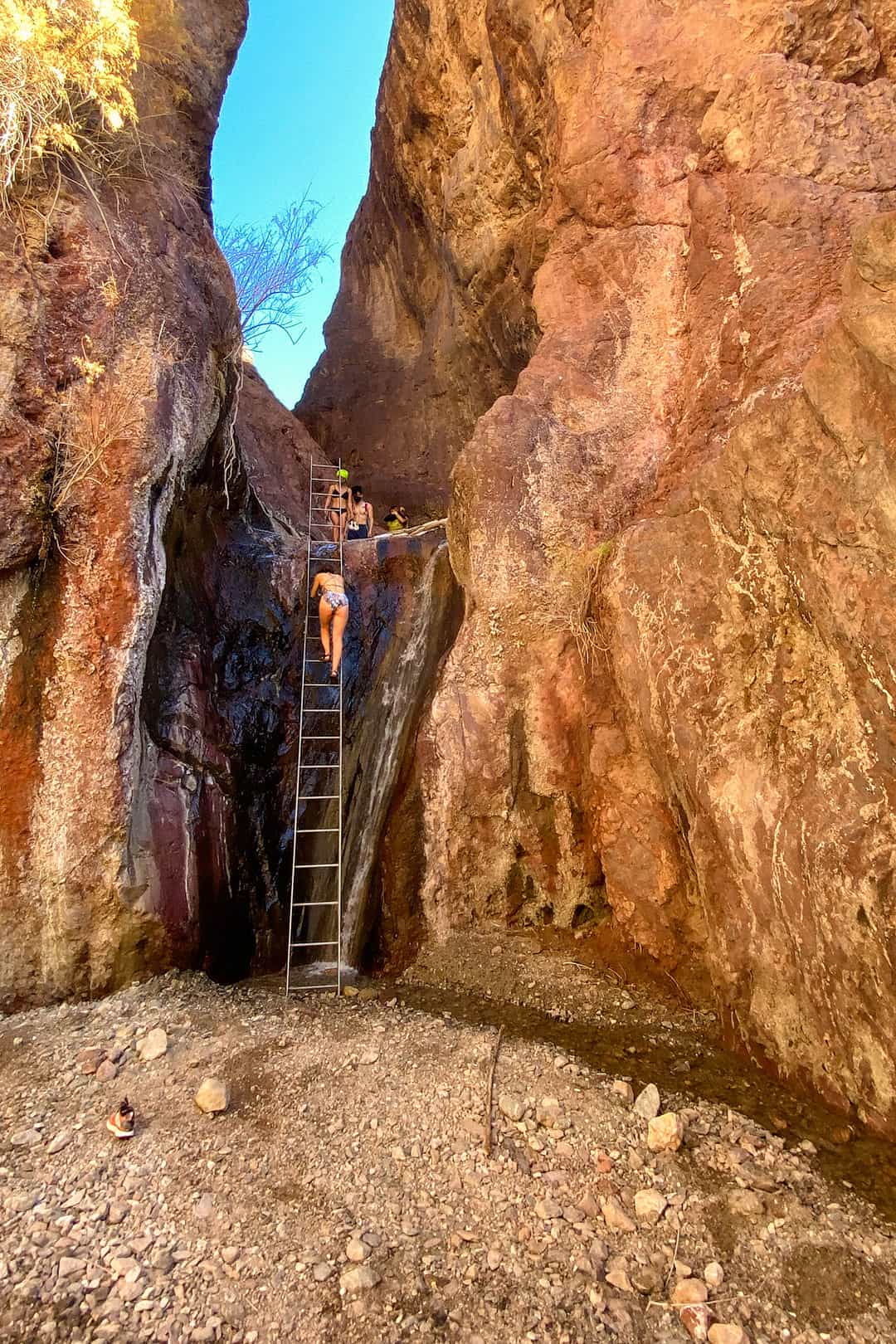
Most guides will instruct you to start on the White Rock Canyon Trail, make your way down to the river, then cut back up to climb a 20 ft 18-rung ladder that leads to the hot springs. Then you head back via the Hot Spring Canyon Trail.
We did the hike in reverse. The plan was to hike back the same way since it cuts down the distance, but we decided last minute to complete the entire loop.
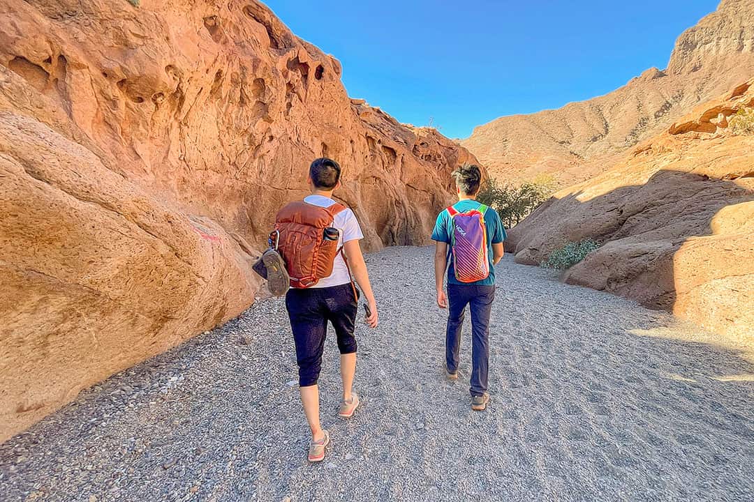
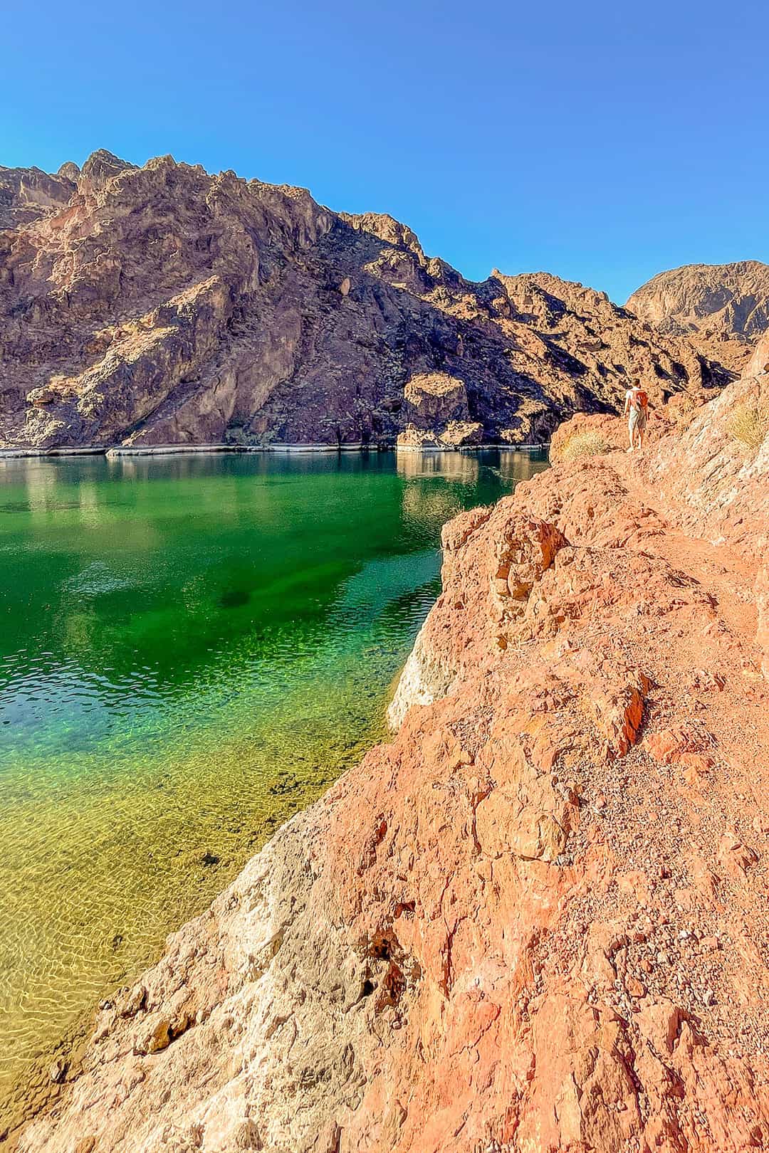
The Hot Spring Canyon Trail was steeper, with some loose gravel, making it slippery, while the White Rock Canyon Trail is gradual but almost entirely on loose gravel (not fun IMO).
Most of the trail is easy to follow. We recommend downloading the GPS map or offline google maps. The one confusing portion is near the river. If you go down to the beach, you need to backtrack to find White Rock Canyon Trail. The trail along the river also cuts back and forth, so look for markers (some not along the river).
Now that we’ve done both sides of the trail, if we were to do the hike again, we would only do the Hot Spring Canyon Trail down and back. The only downside is that you will miss views of the Colorado River from above.
Local Tip: You can extend the hike by adding the Liberty Bell Arch trail, an offshoot of the White Rock Canyon Trail.
The Hot Springs
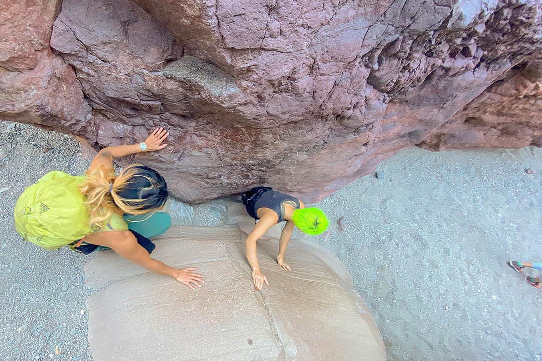
As you approach the hot spring, your experience will be slightly different depending on which side you come from. We entered from the Hot Spring Canyon Trail. As the canyon starts to narrow, you’ll hear voices.
When you’re roughly 20 feet away, there is a steep portion to scramble down. That’s where we found a big group of Korean Ahjummahs (older ladies) getting dressed in the open area just before the first pool (Koreans love a good soak). This is the best spot to change. We dropped our gear off at the open area after the third pool.
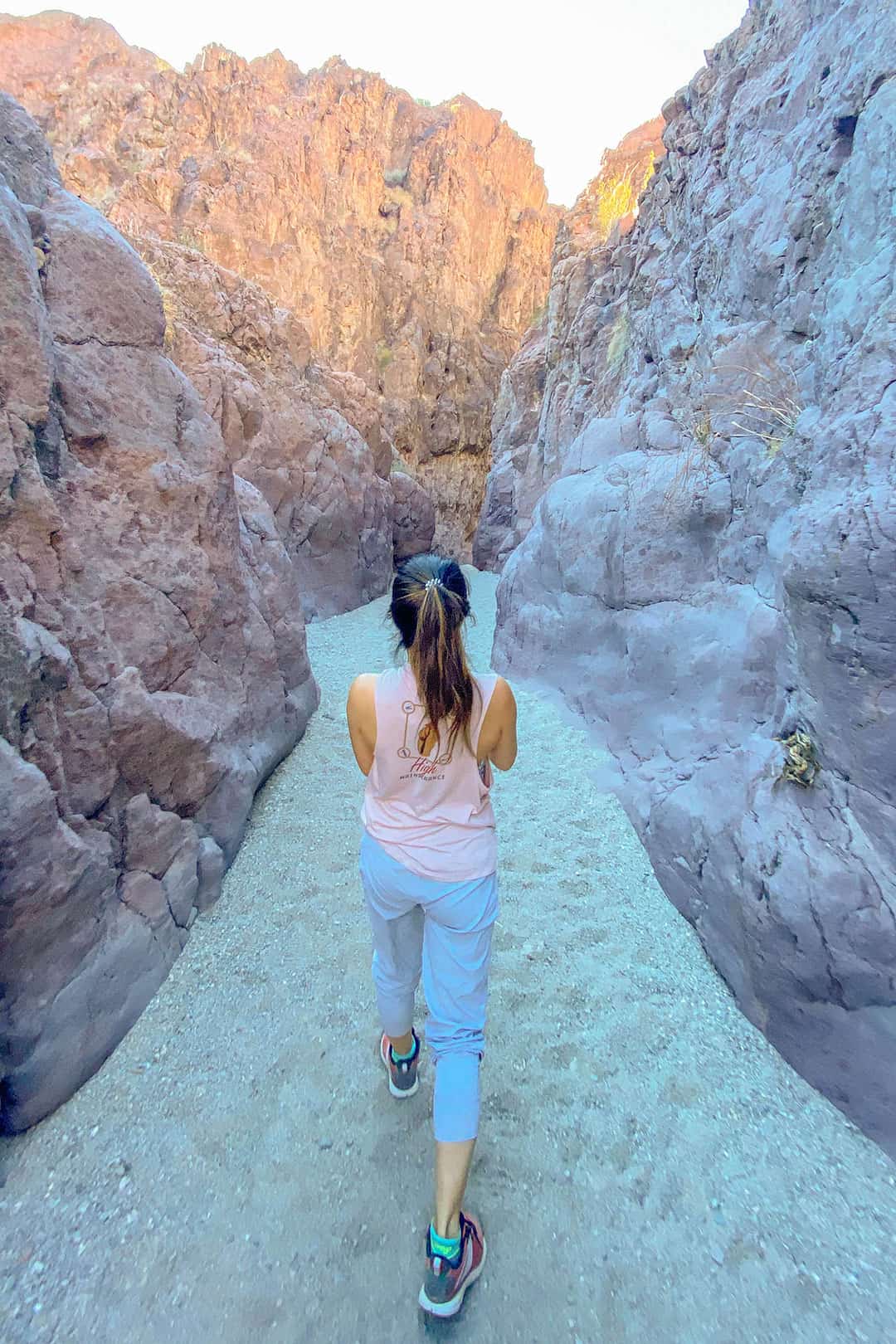
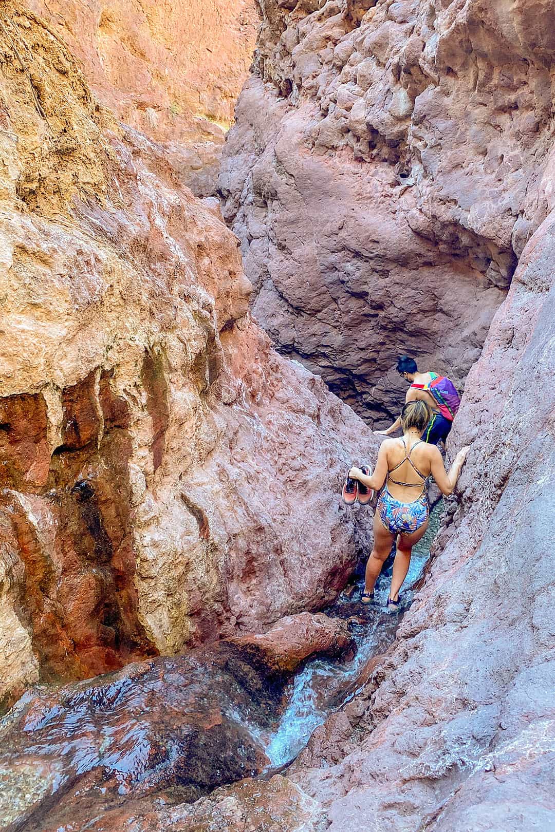
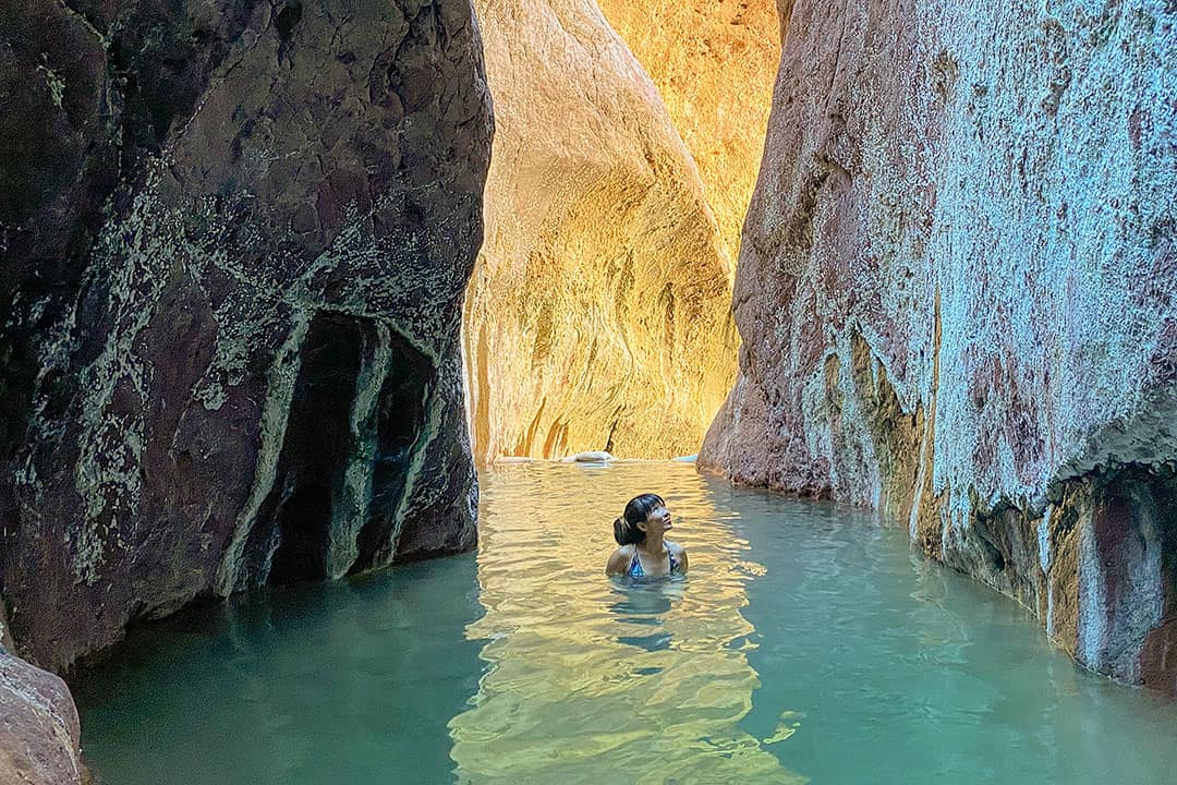
At this point, you can see the source of the hot spring pouring out of the rocks. The first spring, which is the hottest, is roughly 110°F. If that’s too hot or crowded, you can try the following two pools that get cooler and cooler. The first two pools are smaller than the last pool and vary from knee to waist-deep. Even if you don’t plan on soaking, you still have to walk through the pools to continue on the trail.
When you’re ready to leave, there is a 20-foot, 18-rung ladder you need to climb down to head down to the beach or White Rock Canyon trail. You can also head back out the way you came.
Local Tip: We highly recommend water shoes or hiking sandals. Not only are you unsure if there is anything sharp in the bottom of the pools, but it makes it easier to navigate the uneven terrain. Jacob loves these, and they even dried as we walked back to the car.
Essential Tips for First Timers
- Wear comfortable hiking shoes with good traction. There are portions where the hike is slippery that require some scrambling. Jacob’s water shoes did just fine. I used a combination of hiking boots and sandals (I carried my hiking boots over my head in the water section).
- Get Alltrails+ and download the trail map to ensure you have access to it offline.
- Bring lots of water and sun protection. Much of the hike is exposed, and during shoulder season, it is incredibly hot.
- Leave no Trace. One of the biggest complaints is the amount of garbage on the trails and campsites. Be good stewards of the land and pack out anything you pack in. It helps to have a small daypack to put away any garbage. If you’re feeling up to it, you can pick up any trash you see along the way to leave it better than you found it.
- Weekends are busy. We went on a weekday and still ran into big groups of people, but it was much less crowded than the photos we’ve seen from weekends.
- Even if you plan on being back to the car before the sun sets, it’s always a good idea to have a headlamp and some extra supplies in case something happens, or you’re slower than expected.
- It’s good practice never to hike alone. Also, notify someone (not with you) and tell them where you’re hiking and your ETA back home.
What to Pack
- Bring Lots of Water – these are our favorite travel water bottles tested on the road. They recommend you pack one gallon per person on this hike.
- Water Filter (in case you want to refill at the river)
- Food and Snacks
- Sun Protection (sunblock, sunglasses, hat, layers)
- Navigation Tools (google offline maps, Alltrails+)
- Battery for your phone
- Headlamp
- Layers (gets cooler in the shade but hot in the sun)
- Water Shoes / Sandals
- First Aid Kit
- Pack Towel
- Day Pack + Dry Sac
- Camping Gear – if you plan on staying overnight
Camping at Arizona Hot Springs
If you are camping, this is backcountry camping which means there is no trash, potable water, or designated campsites. It gets crowded on weekends, so it can be hard to find a spot. There are two vault toilets just south of the beach. Please Pack Out whatever you pack in.
See More: 11 Breathtaking Canyons in the US You Can’t Miss

Frequently Asked Questions
WHAT IS THE CLOSEST HOT SPRINGS TO LAS VEGAS NEVADA?
Gold Strike Canyon Hot Springs is the closest and Arizona Hot Springs is next.
ARE THERE HOT SPRINGS IN LAS VEGAS? DOES NEVADA HAVE NATURAL HOT SPRINGS?
There aren’t any in the city proper, but if you drive 30 minutes out, you will find two hot springs hikes. Did you know Nevada has more hot springs than any other state in the US? There are more than 300 natural hot springs.
CAN YOU SWIM IN ARIZONA HOT SPRINGS?
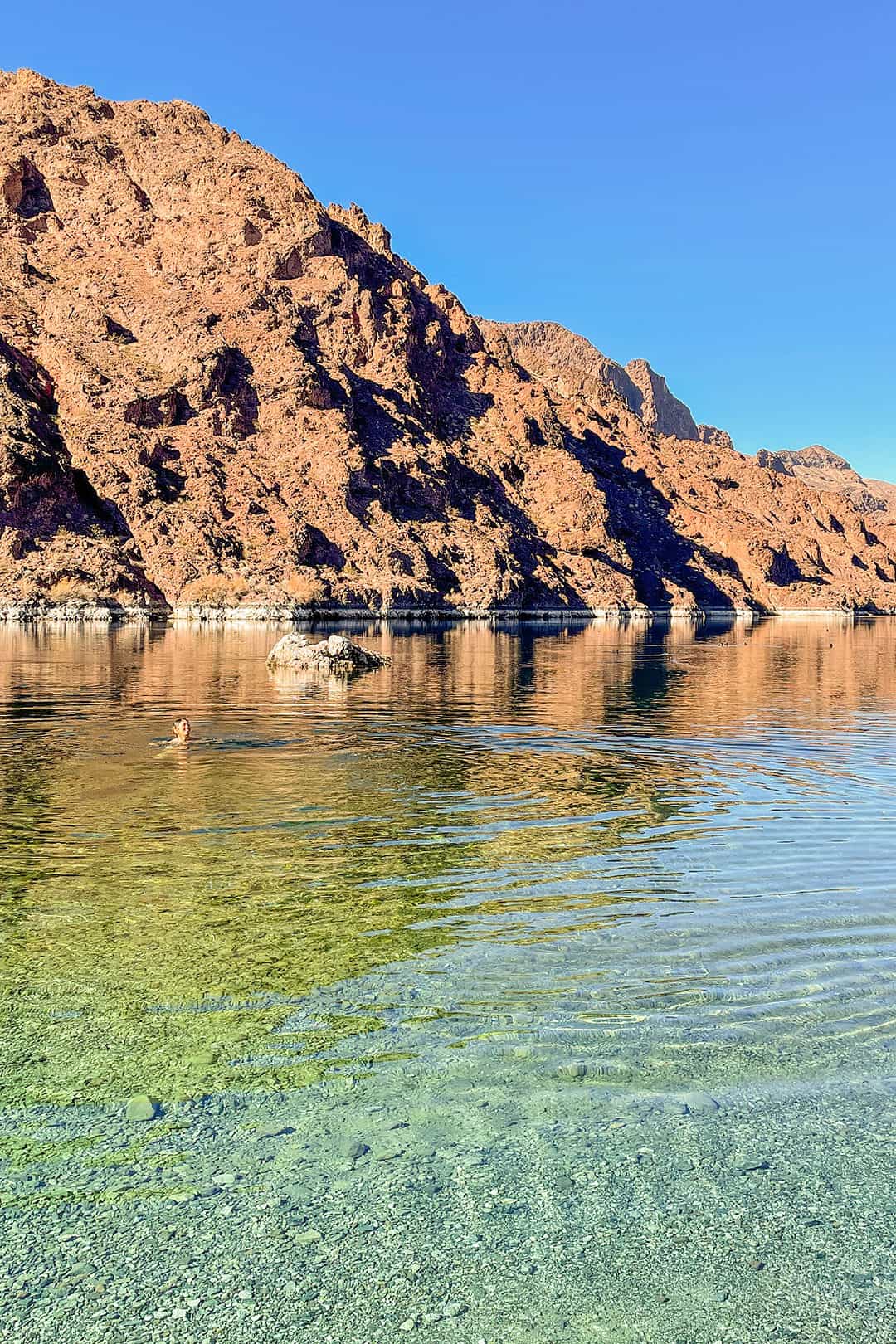
Sort of? It’s not deep enough for a proper swim. You can go a little further down to the Colorado River if you want to swim.
IS ARIZONA HOT SPRINGS SAFE?
Although it’s a rare occurrence, you should still be aware of the brain-eating amoeba. Just keep your head above water.
ARE DOGS ALLOWED?
Dogs are allowed on the trail, and we saw a few on our hike. Keep in mind there is a 20 ft ladder that you may have to carry them up, and you have to carry them through the hot springs. It only takes one dog to poop in the hot springs, and it ruins it for everyone. Also, please pick up after your dogs. So much poooooooooo.
DO YOU NEED A PERMIT FOR THE AZ HOT SPRINGS HIKE?
No permits are required, but you need to pay the fee to get into the Lake Mead area.
HOW DO HOT SPRINGS STAY WARM?
They are heated by geothermal heat from the earth’s core.
Best Places to Stay Near Arizona Hot Springs
What’s Nearby
- Hemenway Park (9.6 miles W / 12 min, map)
- Las Vegas (40.4 miles NW / 45 min, map)
- Red Rock Canyon (57.1 mi W, 59 mi, map)
- Valley of Fire (70.1 miles N / 1 hr 25 min, map)
- Grand Canyon West (86.1 miles E / 1 hr 35 min, map)
- Lake Havasu City (126 mi S, 2 hr, map)
See More: 15 Incredible Weekend Trips from Las Vegas to Take Next
Planning Checklist
- Get comprehensive insurance for your trip.
- Download these helpful language apps.
- Find a great deal on Las Vegas hotels.
- Arrange a rental car for your trip.
- Book a tour for your visit.
- Get airport lounge access.
- Buy a travel charger to keep your devices charged.
- Get a new backpack for your trip.
- Buy a Las Vegas travel guide.
- Pack the appropriate shoes for your trip.
- Don’t forget your in-flight essentials.
- Save money on attractions with Go City.
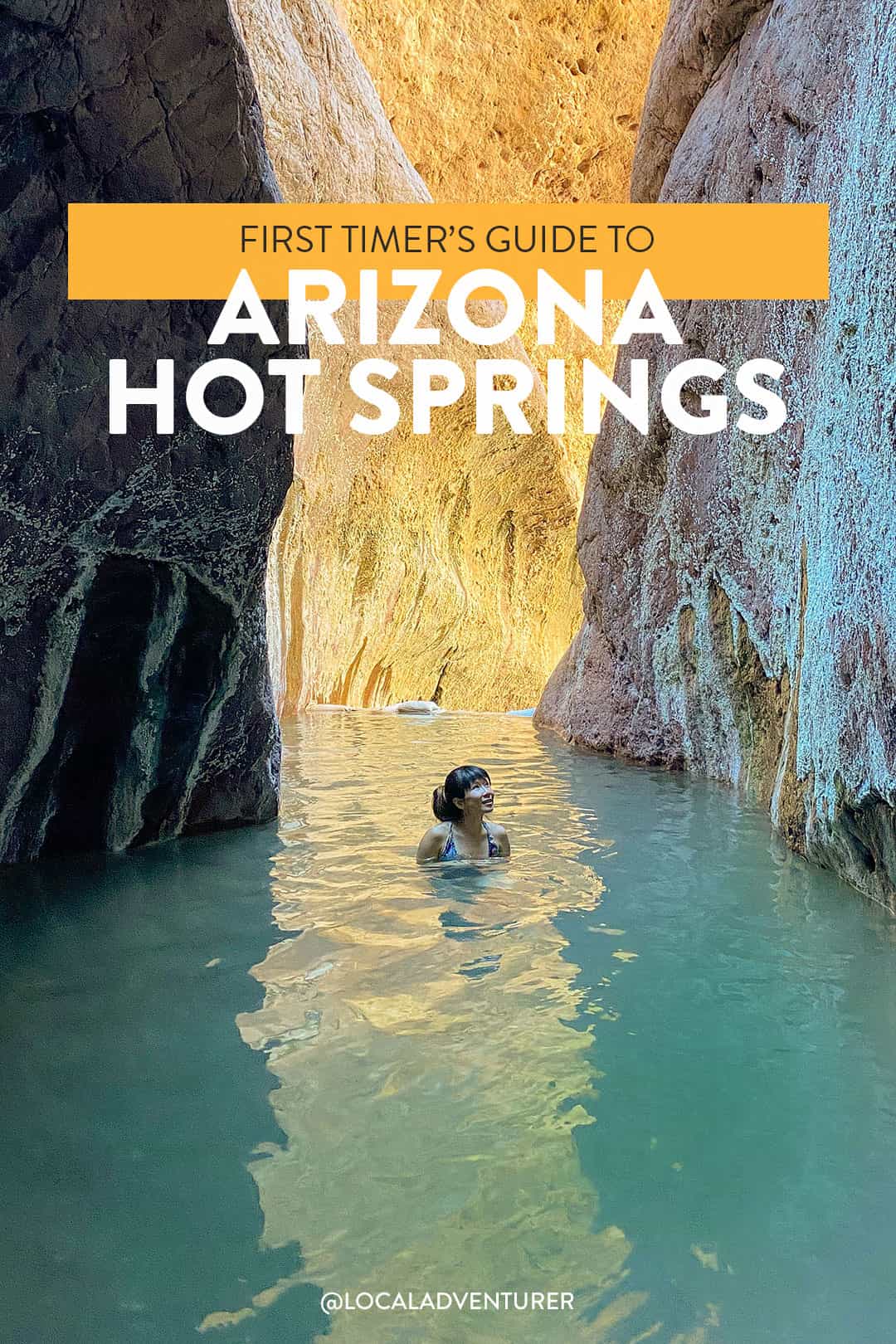
Did you enjoy this post? Pin it for later

SEE MORE LAS VEGAS GUIDES
⟡⟡⟡⟡⟡
“Discovery consists not of seeking new lands but in seeing with new eyes” – M. Proust

Esther + Jacob
Esther and Jacob are the founders of Local Adventurer, one of the top 5 travel blogs in the US. They believe that adventure can be found near and far and hope to inspire others to explore locally. They explore a new city in depth every year and currently base themselves in Las Vegas.
Follow on Instagram (E + J), YouTube, TikTok, and Pinterest.
