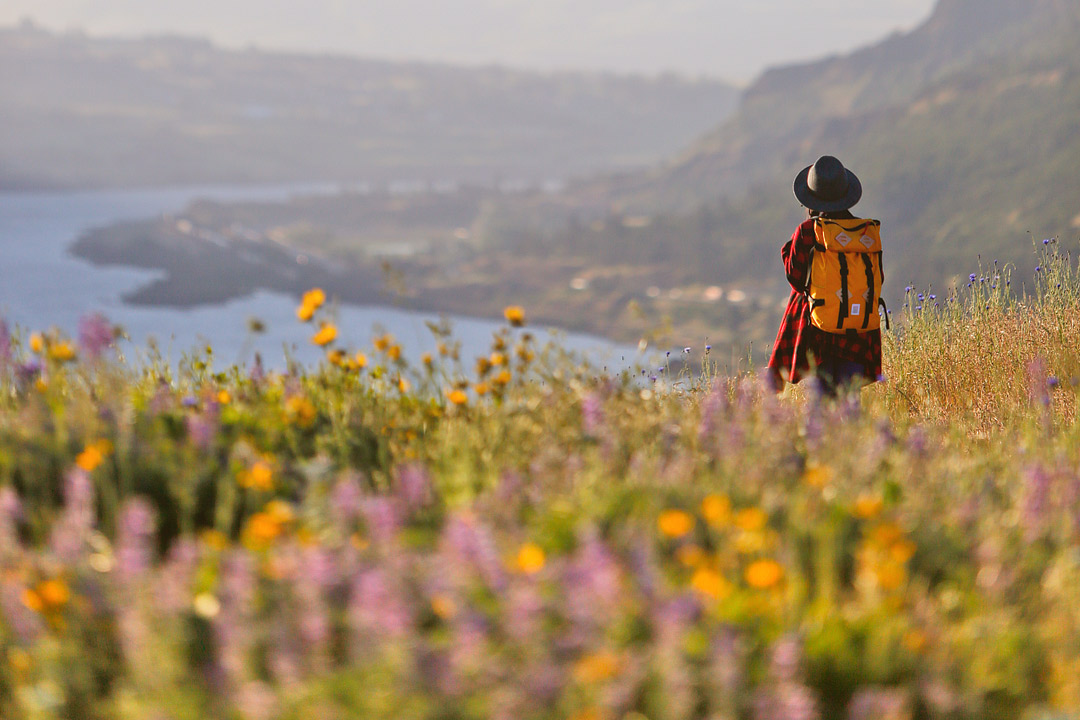
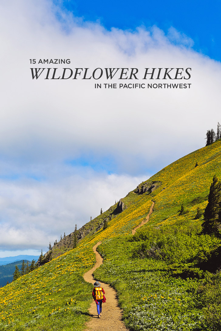
Looking for wildflowers in the PNW? Don’t miss these hikes.
Summer in the PNW is something to get really excited about. After all the doom and gloom, the sun starts peeking out, the wildflowers bloom, and it’s no longer dark around 4 pm! The season is glorious and we’ve been trying to spend as much time outside and soak in as much sun as possible.
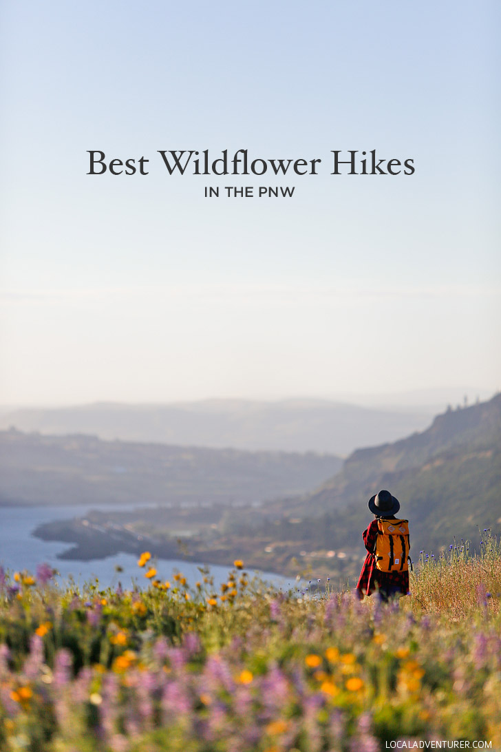
A couple of weeks ago, we hit the trails in search of some wildflowers! We usually have the worst luck with timing, and made it to certain spots a day or two late, but we still managed to find some. Since wildflower season comes later in the PNW, we started anticipating it after seeing our friends post about Cali’s superbloom. We were determined not to miss it this year. After a long, strenuous hike, we were met with an endless field of beautiful yellow flowers!
This post may contain affiliate links, where we receive a small commission on sales of the products that are linked at no additional cost to you. All opinions are always our own. Read our full disclosure for more info. Thank you for supporting the brands that make Local Adventurer possible.
Last Updated: November 13, 2024
Best Wildflower Hikes in the Pacific Northwest
As we shared on our last Bota Box adventure to Samuel H. Boardman State Park, we’re partnering with them to go explore the outdoors.
Whenever possible, we love bringing our Bota Box wines on our adventures! It’s nice getting to relax at the top of a peak or overlook while having a bite to eat and drinking our Bota Minis. The Bota Minis’ compact packaging makes them perfect for easy to moderate hikes (for strenuous ones, I recommend just water. These are our favorite travel water bottles).
See More: 21 Best Hikes in the Columbia River Gorge
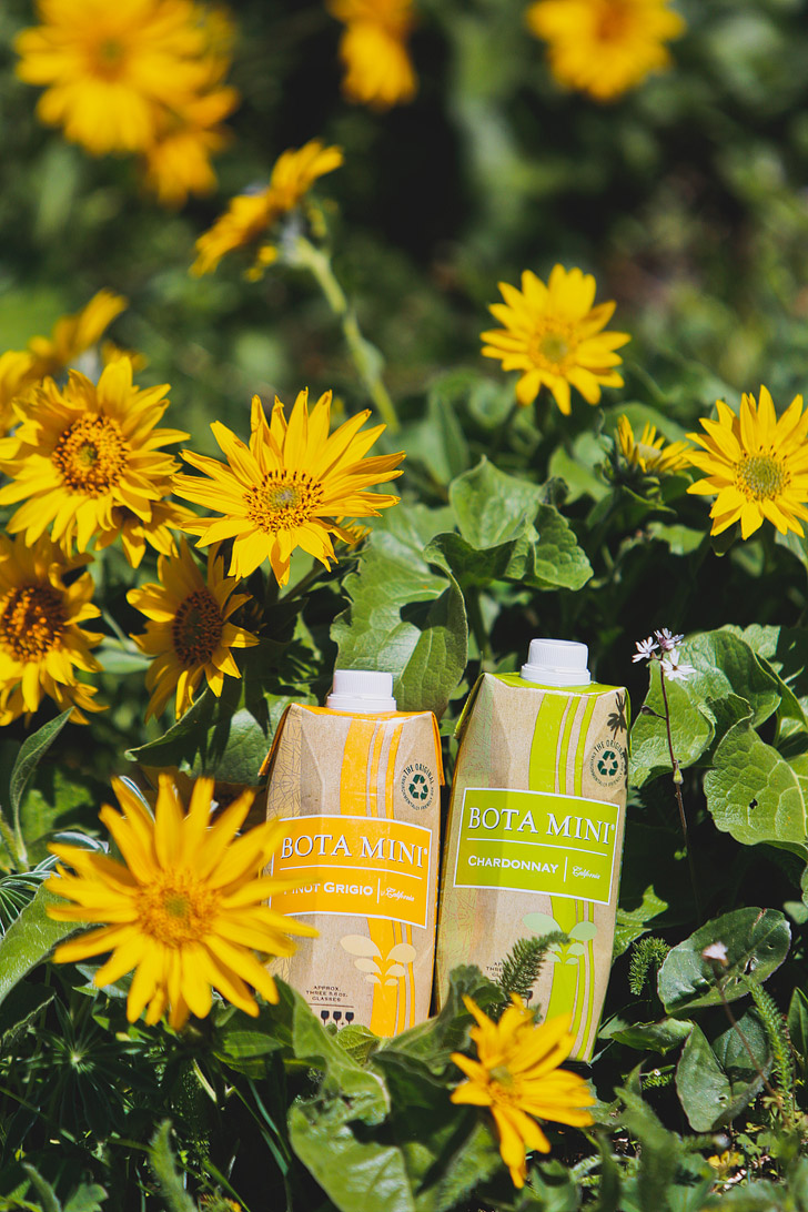
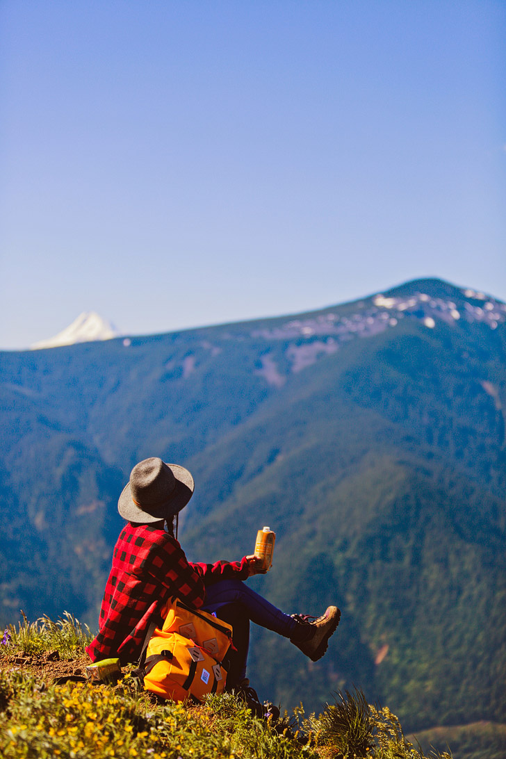

They fit right into the compartments in my camera bag, and since they are resealable, we don’t ever worry about glasses, corkscrews, or finishing them in one sitting. If you’re camping, you can bring the original Bota Boxes that are equivalent to 4 bottles of wine per box. We loved having those on our climbing trips to Joshua Tree.
As Local Adventurers, we always believe that we should never take our weekends or backyard for granted! There’s always an adventure to be found. To help you get inspired, here’s a list of awesome wildflower spots in the PNW.
1. Camassia Natural Area, West Linn, OR
Trailhead Coordinates: 45.35922, -122.61824, map
Distance: 1.4 mi loop
Elevation Gain: 160 ft
Difficulty: Easy
Best Time to Visit: Mid-April through early June
What You’ll See: Camas, Trillium, Lilies, and More
2. Cape Horn, Washougal, WA →
Trailhead Coordinates: 45.58852,-122.1809287, map
Distance: 7.4 mi loop
Elevation Gain: 1350 ft
Difficulty: Moderate
Best Time to Visit: Late April to Early May
What You’ll See: False Solomon’s Seal, Hooker’s Fairy Bells, Candyflower, Fringecup, Fairy Lanterns, and More
3. Cascade Head Preserve, Tillamook County, OR →
Trailhead Coordinates: 45.0483103,-123.9942557, map
Distance: 6.8 mi out and back
Elevation Gain: 1310 ft
Difficulty: Moderate
Best Time to Visit: Mid-May to Mid-June
What You’ll See: Hairy Checker Mallow, Cascade Head catchfly (99% of catchfly’s world population found here)
4. Coyote Wall, White Salmon, WA
Trailhead Coordinates: 45.6999519,-121.4055847, map
Distance: 7.8 mi lollipop loop
Elevation Gain: 1,775 ft
Difficulty: Moderate
Best Time to Visit: Mid-March to late April
What You’ll See: Pungent Desert Parsley, Smooth Prairie Star, Grass Widows, and More
5. Dalles Mountain Ranch Hike, Columbia Hills State Park, Lyle, WA
Trailhead Coordinates: 45.657062, -121.086237, map
Distance: 6.9 mi loop
Elevation Gain: 1060 ft
Difficulty: Moderate
Best Time to Visit: April
What You’ll See: Lupine, Balsamroot, Mountain Buttercup, Douglas’ Draba, and More
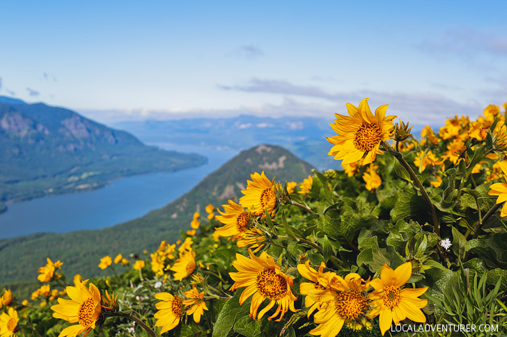
6. Dog Mountain, Columbia River Gorge National Scenic Area, WA →
Trailhead Coordinates: 45.6992035,-121.7101839, map
Distance: 6.9 mi modified loop
Elevation Gain: 2800 ft
Difficulty: Difficult
Best Time to Visit: Mid-May to Early June
Traffic: Crowded
What You’ll See: Northwest Balsamroot, Columbia Gorge Lupine, Harsh Paintbrush, Spring Gold, and More
Local Tip: This hike gets very crowded especially during the spring. Do the hike either early (before 8am) or in the late afternoon. Even on a weekday, we saw the parking lot fill up quickly.
See More: The Best Wildflower Hike Near Portland Oregon
7. Iron Mountain Trail, Willamette National Forest, Foster, OR →
Trailhead Coordinates: 44.414678, -122.8781921, map
Distance: 2.4 mi RT
Elevation Gain: 650 ft
Difficulty: Moderate
Best Time to Visit: Mid-June to Mid-July
What You’ll See: Wood Strawberry, Vanilla Leaf, Field Chickweed, Oregon Sunshine, Lupine, and More
8. Lyle Cherry Orchard, Columbia River Gorge, Lyle, Washington
Trailhead Coordinates: 45.6884674,-121.2601053, map
Distance: 5 mi
Elevation Gain: 1160 ft
Difficulty: Moderate
Best Time to Visit: April to May
What You’ll See: Panicled Death Camas, Lupine, and More
9. McNeal Point, Hood River County, OR →
Trailhead Coordinates: 45.4075238,-121.7880405, map
Distance: 10.4 mi RT
Elevation Gain: 2200 ft
Difficulty: Difficult
Best Time to Visit: Late July
What You’ll See: Western Pasqueflower, Lupine, Piper’s Anemone, and More
10. Memaloose Hills Loop Trail, Mosier, OR →
Trailhead Coordinates: 45.58852,-122.1809287, map
Distance: 2.8 mi
Elevation Gain: 600 ft
Difficulty: Moderate
Best Time to Visit: Early April to Early may
What You’ll See: Desert Shooting Stars, Upland Larkspur, Brad-Leaf Lupine, Northwest Balsamroot, and More
11. Mosier Plateau, Mosier, OR →
Trailhead Coordinates: 45.684777,-121.3959485, map
Distance: 2.9 mi
Elevation Gain: 725 ft
Difficulty: Easy
Best Time to Visit: Early April to Early May
What You’ll See: Northwest Balsamroot, Prairie Star, Fiddleneck, Pungent Desert Parsley, and More
12. Rowena Plateau, Tom McCall Preserve, Rowena, OR →
Trailhead Coordinates: 45.682958, -121.302225, map
Distance: 1 mi
Elevation Gain: 100 ft
Difficulty: Easy
Best Time to Visit: Mid-April to Early May
What You’ll See: Lupine, Balsamroot, and More
See More: Your Essential Guide to the Rowena Crest Viewpoint
13. Sheep Lake, South Cascades, WA →
Trailhead Coordinates: 46.8749031,-121.5199889, map
Distance: 4 mi
Elevation Gain: 580 ft
Difficulty: Moderate
Best Time to Visit: July
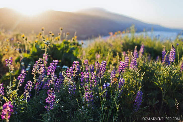
What You’ll See: Indian Paintbrush, False Hellebore, Western Pasqueflower, Valerian, and More
14. Skyline Loop Trail, Ashford, WA →
Trailhead Coordinates: 46.7867266,-121.7367875, map
Distance: 5.4 mi
Elevation Gain: 1,797 ft
Difficulty: Moderate
Best Time to Visit: July
What You’ll See: Avalanche Lilies, Lupine, Indian Paintbrush, and More
15. Tire Mountain, Westfir, OR →
Trailhead Coordinates: 43.842,-122.564194, map
Distance: 7.4 ft
Elevation Gain: 1,250 ft
Difficulty: Moderate
Best Time to Visit: June
What You’ll See: Cliff Larkspur, Northwest Balsamroot, Rosy Plectritis, Cardwell’s Penstemon, and More
Map of the Best Hikes to See Pacific Northwest Wildflowers
Pro Tips for Hiking to Pacific Northwest Wildflowers
- Keep in mind that the blooming season varies every year. Use the best times to visit as a general guideline, but check the wildflower reports before you go.
- Be respectful of wildflowers and help preserve them for others to enjoy. Don’t pick or trample through meadows. Stick to trails, try to stand on rocks or packed down dirt, rather than plant life.
- Know your plants! There are some areas that have a lot of poison oak mixed amongst the wildflowers. “Leaves of three, let them be” might help you remember what to avoid.
Planning Checklist
- Get comprehensive insurance for your trip.
- Download these helpful language apps.
- Arrange a rental car for your trip.
- Get airport lounge access.
- Buy a travel charger to keep your devices charged.
- Get a new backpack for your trip.
- Pack the appropriate shoes for your trip.
- Don’t forget your in-flight essentials.
What kind of adventures will you be chasing after this summer? Have you done any of these Pacific Northwest wildflower hikes?
Did you enjoy this post? Pin it for later
SEE More Outdoor Guides
⟡⟡⟡⟡⟡
“Discovery consists not of seeking new lands but in seeing with new eyes” – M. Proust

Esther + Jacob
Esther and Jacob are the founders of Local Adventurer, one of the top 5 travel blogs in the US. They believe that adventure can be found near and far and hope to inspire others to explore locally. They explore a new city in depth every year and currently base themselves in Las Vegas.
Follow on Instagram (E + J), YouTube, TikTok, and Pinterest.

