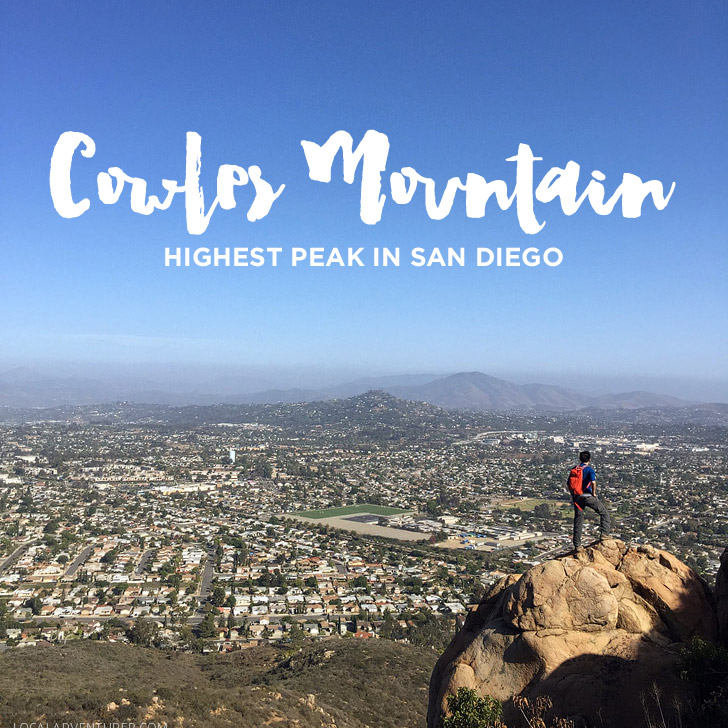
The Cowles Mountain hike is easily the most popular hike in San Diego. It’s easily accessible, well maintained, and takes you to a 1,592 feet viewpoint that is the highest within the city of San Diego.
Location: Mission Trails Regional Park in San Carlos, San Diego
Length: 5 miles
Time: 2 hours
Level: Moderate
There are a several ways to reach the peak. Rather than taking the popular trailhead from Golfcrest Drive, we decided to start at Mesa Road to avoid the crowds. At the start of the hike, you’ll see a sign that gives you some information. After taking in any information you need, you can follow the trail either way. It will meet back up after it circles around an abandoned building on top of a hill. The first portion of the hike is narrow and winds through the mountains. You’ll see plenty of shrubbery in the spring time and lots of flowers and pops of color.
Afterwards, you’ll gradually climb up the mountain until you meet a fire road where you’ll run into more people. It can feel like Runyon Canyon in LA with your shirtless bros and girls with their lululemons.
At this point, turn right, and you will get the first views of the peak. After a short, flat walk, you’ll reach a portion that starts to climb again. This is the steepest part of the climb, and you will work up a sweat (though some others treated this like a walk in the park and put us to shame).
While there are many smaller viewpoints, the official viewpoint has signs that point out all the landmarks in the city of San Diego.
Final Thoughts: The top is definitely the most crowded spot, and we were eager to get back on the quiet trail on the way back down. It’s definitely a must-do if you’re in San Diego as a tourist, but if you’re looking for a “hiker’s hike”, this won’t be it. Jacob found the first portion of the 5-mile hike fun. For me, other than the views of the city at the top, I thought the landscape of the entire hike was really boring. Glad to check it off our San Diego hiking bucket list though!
Cowles Mountain Trailhead
8282 Mesa Road
Santee, CA 92071
Tips for the Cowles Mountain Hike:
- If you can’t find parking along Mesa Road, you can park at Big Rock Park, cross through the field, and duck under the fence to the trailhead.
- There isn’t much shade, so be sure to bring lots of water.
- It took us 1.5 hours to reach the top. We spent roughly 25 minutes at the top, then worked our way down in an hour. (We’re slow hikers because we take so many photos and video along the way)
- There are over 40 miles of trails within Mission Trails Regional Park.
- Mission Trails Regional Park is the 6th largest municipally owned park in the US (largest in SoCal).
- Here’s a list of our day hike essentials.
Is this the type of hike you’d love to check out?
Where are the best views in your city?


